

Applications
From land and infrastructure management to business marketing, drones are reshaping practices in nearly every industry. Their speed allows for frequent, cost-effective data collection, providing our clients with real time, actionable data and documentation to plan more effectively, conserve resources, and make better decisions.

INDUSTRIES We Serve
Golf
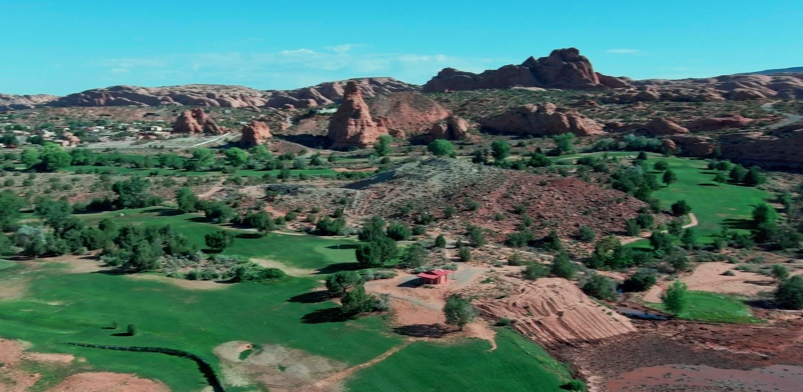
Our unique technique of creating hole-by-hole videos gives golfers a beautiful preview of the course and a feel for how it will play.
High-definition digital surface models (DSMs) of each green can be a valuable resource to players and course administrators alike.
Construction and development
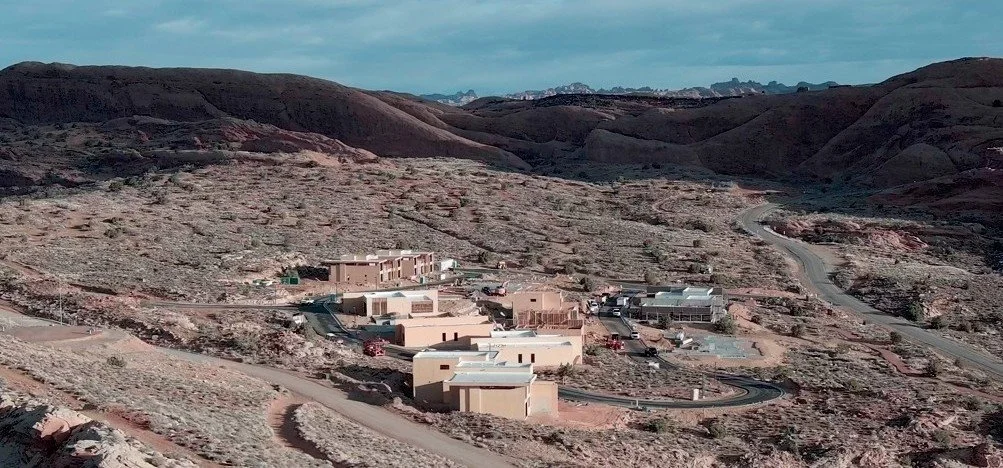
Our digital surface models can be incredibly useful during the planning phase of any project.
We can quickly create detailed orthomosaics and progress reports to track projects in real time.
Aerial photos and videos are perfect for showcasing completed projects and developments.
Real Estate

Aerial photography and videography bring beautiful properties to life and give buyers a more immersive experience when shopping for a home or estate.
Ideal for capturing larger properties
Solid waste management
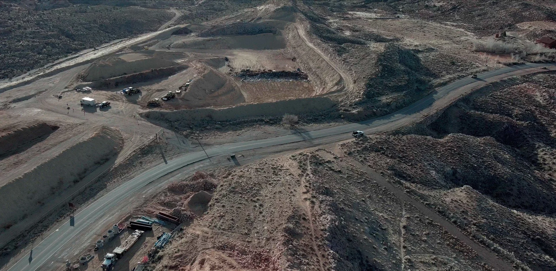
We create models that can be used to get accurate volumetric measurements for easier planning and management.
Aerial vegetation surveys aid in land reclamation efforts and documentation.
Other Industries

Agriculture
Insurance
Forestry
Communication
Energy
Marketing
Land reclamation
Infrastructure
Mining