
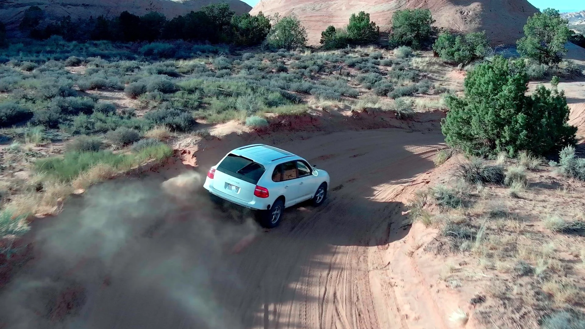
We offer a professional aerial photography and videography service, whether you need to advertise, present, or document. We can provide anything from raw photos and video footage to fully edited content for a beautifully finished product.

Get detailed orthomosaic maps and digital surface models (DSMs). We can provide deliverables in a format that fits your needs.
GeoTIFFs
JPEGs
PNGs
Reports/Writeups

We can quickly deliver highly detailed photo and video documentation of normally hard to access infrastructure and pieces of equipment with less risk at a lower cost than traditional inspection methods.

Get accurate, georeferenced point clouds and textured models that allow you to take measurements with ease.
LASs
LAZs
PLYs
Disclaimer:
Ventus Aerial is not a land surveying company. While we can provide accurate, high-resolution georeferenced maps and data, we do not have a licensed land surveyor on staff and therefore cannot interpret survey grade information.